


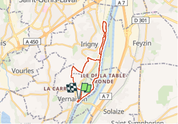

9,2 km | 11,6 km-effort

Benutzer


Kostenlosegpshiking-Anwendung
 SityTrail
IGN / Geografische Institute
SityTrail World
Die Welt öffnet sich für Sie
Tour Wandern von 12,8 km verfügbar auf Auvergne-Rhone-Alpen, Métropole de Lyon, Vernaison. Diese Tour wird von SyMA vorgeschlagen.
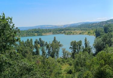
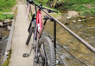
2eme partie boisée et fraiche le long du Rhone
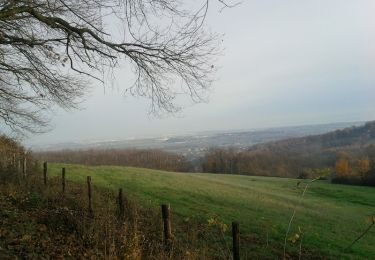
avec Retour le long du Rhône délicat car végétation a repris le dessus


Wandern
Zu Fuß
Wandern
Wandern

Wandern
Mountainbike
Mountainbike

Auto
Mountainbike