


34 km | 41 km-effort


Benutzer


Kostenlosegpshiking-Anwendung
 SityTrail
IGN / Geografische Institute
SityTrail World
Die Welt öffnet sich für Sie
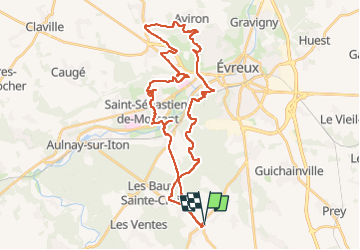
Tour Mountainbike von 39 km verfügbar auf Normandie, Eure, Les Baux-Sainte-Croix. Diese Tour wird von fredtruc27 vorgeschlagen.
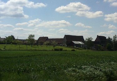
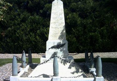
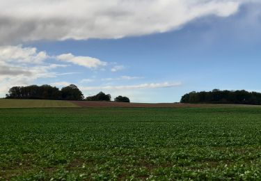
les baux ste croix- Asnières- St Sébastien de Morsent - forêt d'Évreux- les Baux Ste Croix
Mountainbike
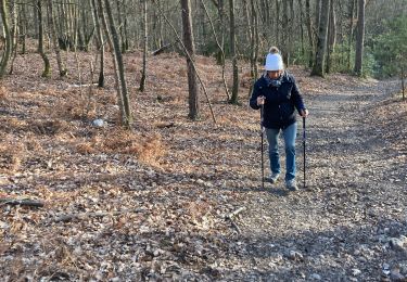
Wandern

Andere Aktivitäten

Andere Aktivitäten
Fahrrad
Mountainbike
Wandern
Wandern
Wandern