


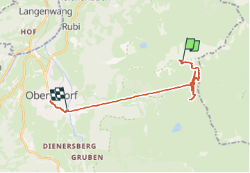

4,4 km | 6,2 km-effort

Benutzer


Kostenlosegpshiking-Anwendung
 SityTrail
IGN / Geografische Institute
SityTrail World
Die Welt öffnet sich für Sie
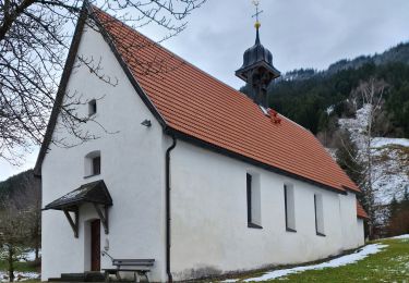
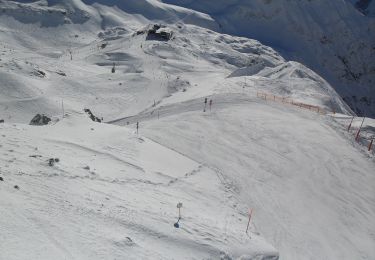
Tour Wandern von 12,6 km verfügbar auf Bayern, Landkreis Oberallgäu, Oberstdorf. Diese Tour wird von Geert H. vorgeschlagen.
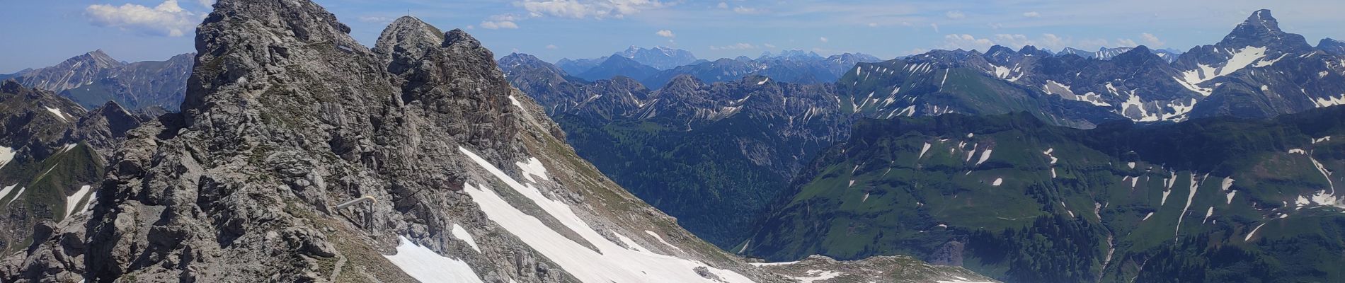
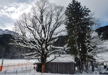
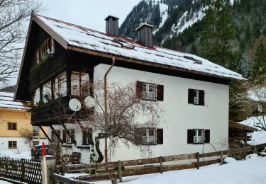
Went up to the top of the Nebelhorn by cable car and came back on foot to the Höfatsblick mountain station. Walke around and back down to Oberstdorf to see a little bit of the town.


Zu Fuß
Zu Fuß

Zu Fuß

Zu Fuß
Zu Fuß
Zu Fuß

Zu Fuß
Zu Fuß

Fahrrad