


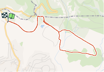

13,3 km | 18,3 km-effort

Benutzer


Kostenlosegpshiking-Anwendung
 SityTrail
IGN / Geografische Institute
SityTrail World
Die Welt öffnet sich für Sie
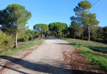
Tour Wandern von 6,2 km verfügbar auf Provence-Alpes-Côte d'Azur, Var, Roquebrune-sur-Argens. Diese Tour wird von cb8310 vorgeschlagen.
rando sans trop de difficultés avec au début de larges sentiers puis d'autres beaucoup plus étroits, rocailleux et parfois très pentus


Wandern

Mountainbike

Wandern

Zu Fuß
Zu Fuß

Wandern
Wandern
Wandern
Zu Fuß