11,1 km | 14,2 km-effort
Parc National Killarney
Z14
Benutzer
Länge
28 km
Maximale Höhe
243 m
Positive Höhendifferenz
285 m
Km-Effort
32 km
Min. Höhe
16 m
Negative Höhendifferenz
316 m
Boucle
Nein
Erstellungsdatum :
2024-06-16 09:53:28.008
Letzte Änderung :
2024-07-10 07:30:53.472
7h10
Schwierigkeit : Sehr schwierig
Kostenlosegpshiking-Anwendung
Über SityTrail
Tour Wandern von 28 km verfügbar auf Unbekannt, County Kerry, Kenmare Municipal District. Diese Tour wird von Z14 vorgeschlagen.
Beschreibung
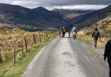
Randonnée à travers les paysage magnifiques du parc national de Killarney.
Départ du Heather bus possible depuis Killarney)
Ort
Land:
Ireland
Region :
Unbekannt
Abteilung/Provinz :
County Kerry
Kommune :
Kenmare Municipal District
Standort:
Dunloe
Gehen Sie:(Dec)
Gehen Sie:(UTM)
456613 ; 5765626 (29U) N.
Kommentare
Touren in der Umgebung
Gap of Dunloe
Wandern
Medium
Kenmare Municipal District,
Unbekannt,
County Kerry,
Ireland
2h 26min
Nein
Purlp montain
Wandern
Schwierig
Kenmare Municipal District,
Unbekannt,
County Kerry,
Ireland
14,5 km | 21 km-effort
Unbekannt
Ja
Gap of Dunloe 2
Mountainbike
Sehr schwierig
Kenmare Municipal District,
Unbekannt,
County Kerry,
Ireland
46 km | 55 km-effort
3h 47min
Ja