


13,9 km | 19,1 km-effort


Benutzer


Kostenlosegpshiking-Anwendung
 SityTrail
IGN / Geografische Institute
SityTrail World
Die Welt öffnet sich für Sie
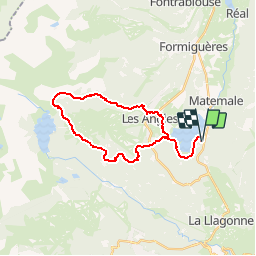
Tour Wandern von 28 km verfügbar auf Okzitanien, Ostpyrenäen, Matemale. Diese Tour wird von jl_chocho vorgeschlagen.
Matemale le lac vers les Angles puis lac de Vallserra puis lac des Bouillouses puis lac d'Aude puis retour vers Matemale.

Schneeschuhwandern

Wandern

Wandern

Wandern

Wandern

Schneeschuhwandern
Wandern


sport
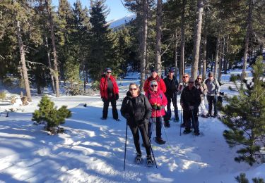
Schneeschuhwandern