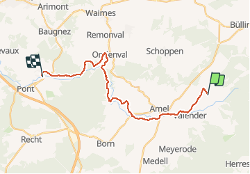

6,1 km | 7,5 km-effort


Benutzer


Kostenlosegpshiking-Anwendung
 SityTrail
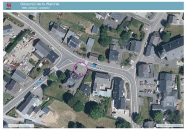
IGN / Geografische Institute
SityTrail World
Die Welt öffnet sich für Sie
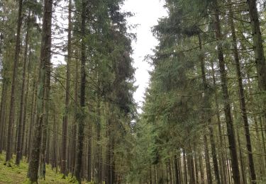
Tour Wandern von 21 km verfügbar auf Wallonien, Lüttich, Amel. Diese Tour wird von mozzipsc vorgeschlagen.
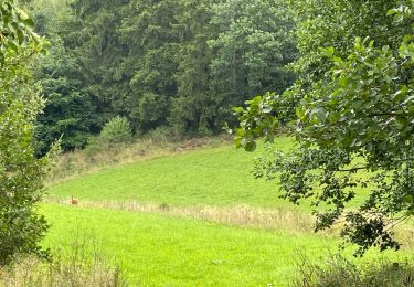
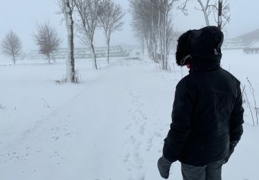
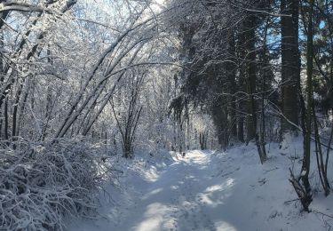
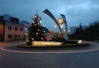
J2- Chouette parcours excepté un peu le premier tiers où l'on se trouve particulièrement sur la route mais au travers de villages consécutifs.
Wandern
Wandern
Wandern
Wandern
Radtourismus

Zu Fuß
Wandern