


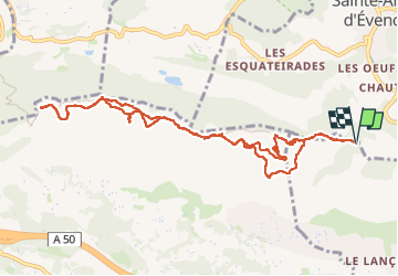


11,8 km | 19,3 km-effort

Benutzer


Kostenlosegpshiking-Anwendung
 SityTrail
IGN / Geografische Institute
SityTrail World
Die Welt öffnet sich für Sie
Tour Wandern von 12,2 km verfügbar auf Provence-Alpes-Côte d'Azur, Var, Ollioules. Diese Tour wird von FSantoni vorgeschlagen.
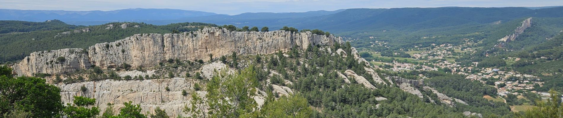
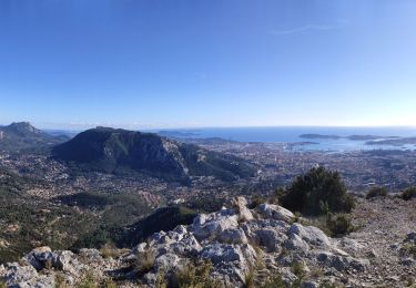
Rando pas très difficile, mais très agréable vers le gros cerveau avec des vues magnifiques entre autres sur Toulon, La Seyne, Le Gaou, Sanary, la Sainte Baume, la Cadière, le Castellet, la Ciotat.
Et même sur l'entrée de la grotte de Gaspard de Besse.


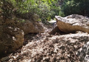
25 Fotos insgesamt. Klicken Sie auf ein Foto, um sie alle in der Galerie zu sehen.

Wandern

Wandern

Wandern

Wandern

Wandern

Wandern

Wandern
Wandern
Wandern