


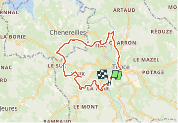

18,7 km | 24 km-effort


Benutzer


Kostenlosegpshiking-Anwendung
 SityTrail
IGN / Geografische Institute
SityTrail World
Die Welt öffnet sich für Sie
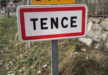
Tour Wandern von 16,1 km verfügbar auf Auvergne-Rhone-Alpen, Haute-Loire, Tence. Diese Tour wird von pascalmilpas vorgeschlagen.
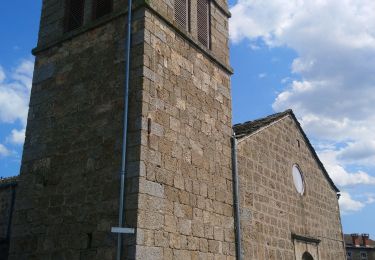
Boucle au départ du VVF et retour par Tence
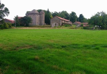
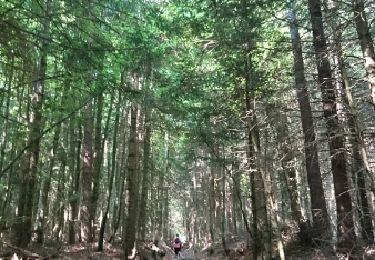
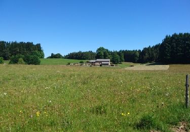
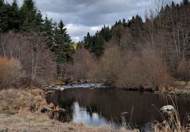
Passage par l'étang et le château de Joux, par La Papeterie...et par de magnifiques forêts
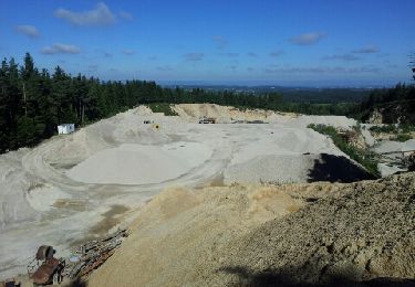
3 premiers kms rustiques et non balisés puis grands chemins ou petit goudron tranquille
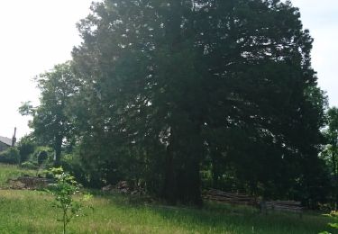
Magnifique paysages
Wandern
Wandern
Wandern
Wandern
Wandern
Andere Aktivitäten
Wandern
Wandern

Rennrad