


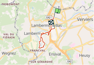


13,4 km | 17,5 km-effort

Benutzer GUIDE


Kostenlosegpshiking-Anwendung
 SityTrail
IGN / Geografische Institute
SityTrail World
Die Welt öffnet sich für Sie
Tour Wandern von 4,3 km verfügbar auf Wallonien, Lüttich, Verviers. Diese Tour wird von pierreh01 vorgeschlagen.
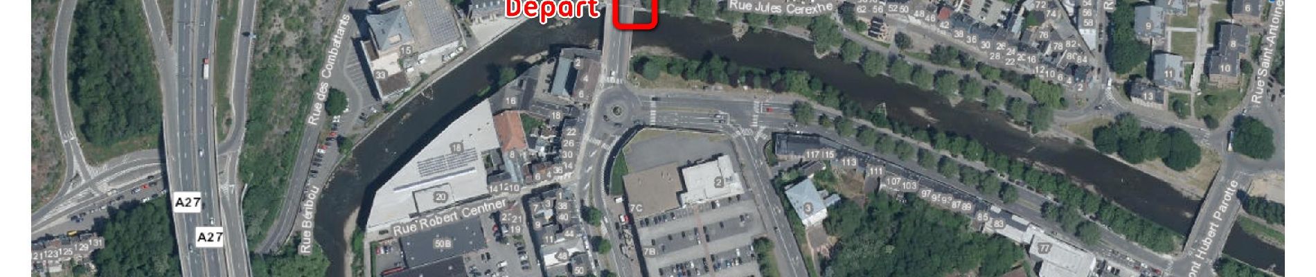
Dimanche 19 mai 2024.
Visite guidée de l'AGAV (Association des Guides de l'Arrondissement de Verviers) ayant pour thème " Ensival : Hameau vieux de neuf siècles aux multiples secrets ", avec l'éclairage avisé de M. Daniel ROUSSEL.
Distance de 4,3 Km mesurée avec SityTrail.


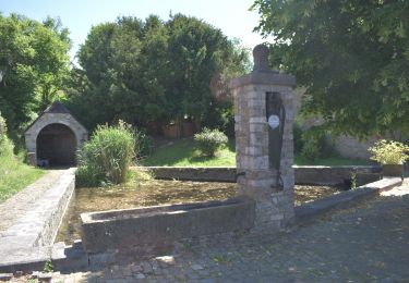
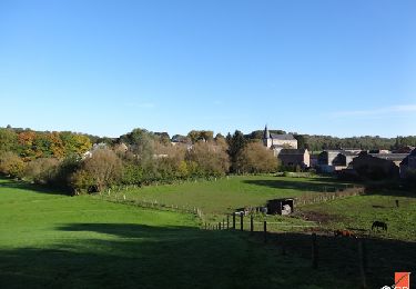
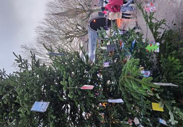
54 Fotos insgesamt. Klicken Sie auf ein Foto, um sie alle in der Galerie zu sehen.

Wandern


Wandern

Wandern

Wandern

Wandern
Wandern
Wandern
Wandern