


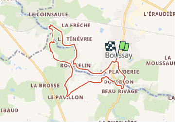

12,1 km | 13,8 km-effort


Benutzer


Kostenlosegpshiking-Anwendung
 SityTrail
IGN / Geografische Institute
SityTrail World
Die Welt öffnet sich für Sie
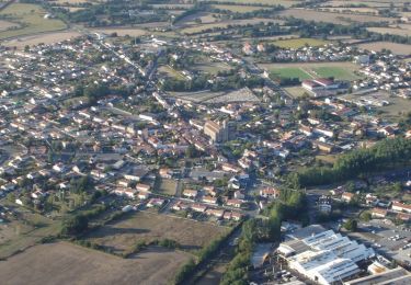
Tour Wandern von 8,7 km verfügbar auf Pays de la Loire, Loire-Atlantique, Boussay. Diese Tour wird von gelineau vorgeschlagen.
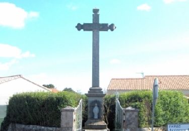
Départ de l'église
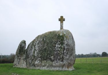
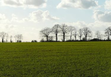
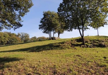
Circuit accessible toute l'année . A un certain passage un gros rocher!!!
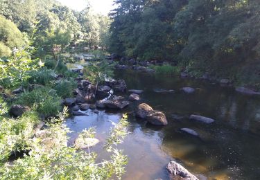
Passage humide et inondables en bord de rivière en période de pluie
Zu Fuß

Wandern
Wandern
Mountainbike

Mountainbike
Mountainbike
Mountainbike
Wandern
Wandern