


9,5 km | 12 km-effort


Benutzer


Kostenlosegpshiking-Anwendung
 SityTrail
IGN / Geografische Institute
SityTrail World
Die Welt öffnet sich für Sie
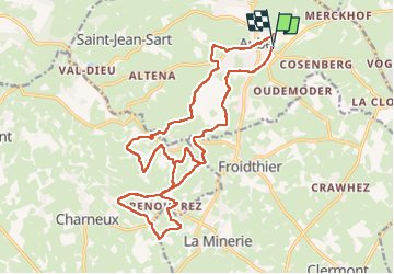
Tour Wandern von 21 km verfügbar auf Wallonien, Lüttich, Aubel. Diese Tour wird von yaco1972 vorgeschlagen.
Chouette parcours au cœur du pays de Hervé. Beaux paysages au rdv. Très peu de routes fréquentées. Et une Val Dieu après l'effort !


Wandern

Wandern

Wandern

Wandern

Wandern

Wandern

Wandern

Wandern
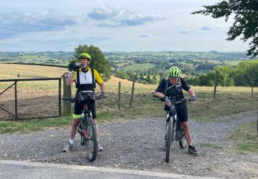
Mountainbike