10,9 km | 12,9 km-effort
neaufles
MarcLongo
Benutzer
Länge
8,2 km
Maximale Höhe
100 m
Positive Höhendifferenz
91 m
Km-Effort
9,4 km
Min. Höhe
46 m
Negative Höhendifferenz
92 m
Boucle
Ja
Erstellungsdatum :
2024-04-28 07:36:03.086
Letzte Änderung :
2024-04-28 09:51:37.281
2h15
Schwierigkeit : Medium
Kostenlosegpshiking-Anwendung
Über SityTrail
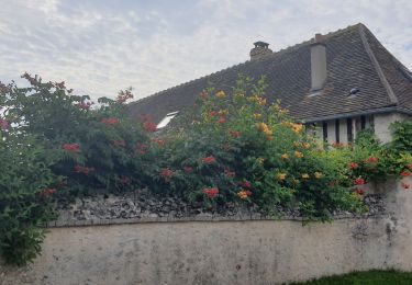
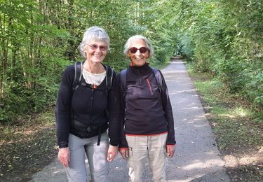
Tour Wandern von 8,2 km verfügbar auf Normandie, Eure, Neaufles-Saint-Martin. Diese Tour wird von MarcLongo vorgeschlagen.
Beschreibung
marche rotary
Ort
Land:
France
Region :
Normandie
Abteilung/Provinz :
Eure
Kommune :
Neaufles-Saint-Martin
Standort:
Unknown
Gehen Sie:(Dec)
Gehen Sie:(UTM)
407457 ; 5459395 (31U) N.
Kommentare
Touren in der Umgebung
Boury en Vexin - Hérouval
Wandern
Einfach
(3)
Boury-en-Vexin,
Nordfrankreich,
Oise,
France
2h 49min
Ja
Bézu Saint Eloi - Départ du parking route de Gisors (place St Eloi), puis Nea...
Wandern
Medium
(1)
Bézu-Saint-Éloi,
Normandie,
Eure,
France
10,3 km | 12 km-effort
2h 43min
Ja
Noyers - Vesly et ND du chêne
Wandern
Medium
(1)
Noyers,
Normandie,
Eure,
France
13,6 km | 16,5 km-effort
2h 30min
Ja
Marche Nordique 89 Bezu Saint Eloi
Nordic Walking
Einfach
(1)
Bézu-Saint-Éloi,
Normandie,
Eure,
France
8,6 km | 10 km-effort
1h 30min
Ja
Marche Nordique 75 Boury en Vexin
Nordic Walking
Einfach
(1)
Boury-en-Vexin,
Nordfrankreich,
Oise,
France
10,3 km | 12,6 km-effort
1h 30min
Ja
Marche Nordique 71 Courcelles les Gisors
Nordic Walking
Sehr leicht
(2)
Courcelles-lès-Gisors,
Nordfrankreich,
Oise,
France
9,2 km | 10,9 km-effort
1h 26min
Ja
gisors champêtre et historique
Wandern
Schwierig
Gisors,
Normandie,
Eure,
France
12,1 km | 13,6 km-effort
2h 13min
Ja
voie verte Gisors Courcelles Mauréamont Beauséré
Wandern
Schwierig
Gisors,
Normandie,
Eure,
France
12,3 km | 14 km-effort
3h 4min
Ja
Gisors voie verte jusqu'à Beausséré
Wandern
Schwierig
Gisors,
Normandie,
Eure,
France
11,7 km | 12,9 km-effort
2h 35min
Ja