


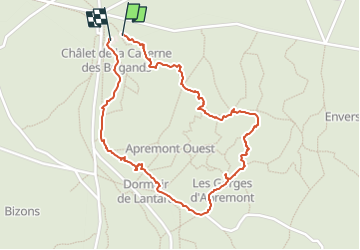

7,5 km | 8,2 km-effort

Benutzer


Kostenlosegpshiking-Anwendung
 SityTrail
IGN / Geografische Institute
SityTrail World
Die Welt öffnet sich für Sie
Tour Wandern von 2,1 km verfügbar auf Île-de-France, Seine-et-Marne, Fontainebleau. Diese Tour wird von Ben Ayed Catherine vorgeschlagen.
Caverne des brigands retour par route forestière (retour par trace jaune )
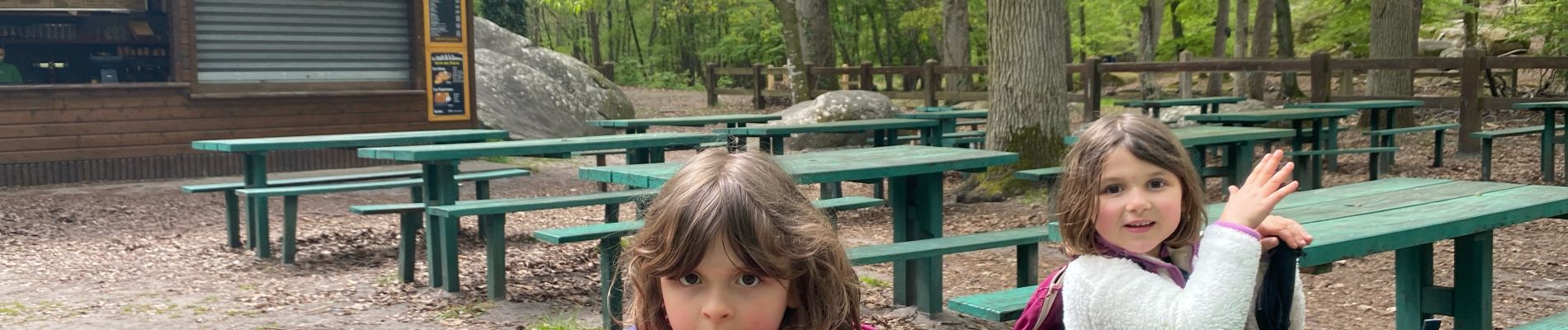
Repas possible au chalet
Possibilité d'extension par la trace bleue gorges d'Apremont


Wandern

Wandern

Wandern

Wandern

Zu Fuß

Wandern

Wandern

Zu Fuß
Wandern