


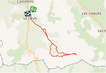

6,2 km | 13,5 km-effort

Benutzer GUIDE


Kostenlosegpshiking-Anwendung
 SityTrail
IGN / Geografische Institute
SityTrail World
Die Welt öffnet sich für Sie
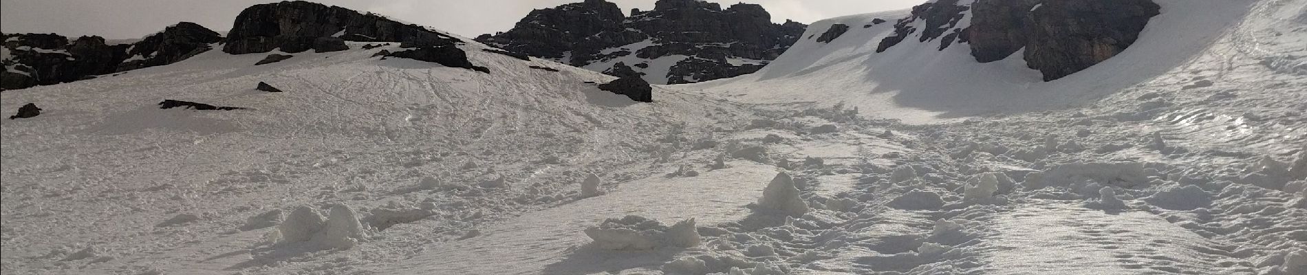
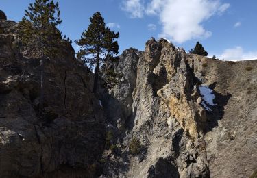
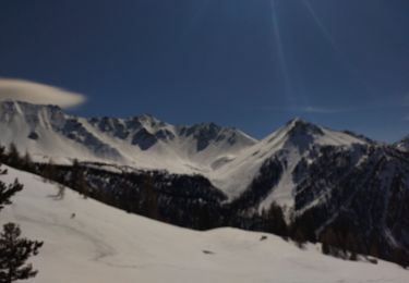
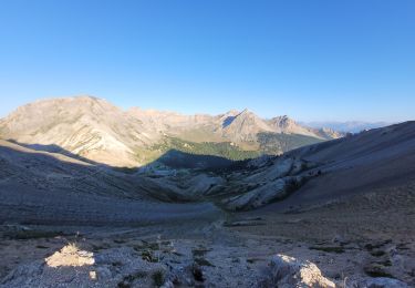
Tour Skiwanderen von 15,1 km verfügbar auf Provence-Alpes-Côte d'Azur, Hochalpen, Cervières. Diese Tour wird von nadd73 vorgeschlagen.
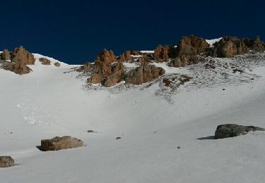
Des Laus peu de portage.
Ne pas monter par où je suis montée car très galère.Mo'tet par la trace de descente


Wandern
Skiwanderen

Skiwanderen
Wandern

Wandern
Andere Aktivitäten

Schneeschuhwandern
Wandern
Mountainbike