


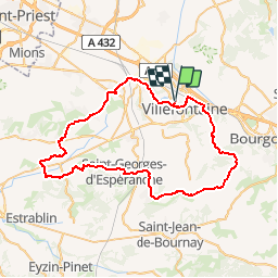

8,4 km | 10,6 km-effort


Benutzer


Kostenlosegpshiking-Anwendung
 SityTrail
IGN / Geografische Institute
SityTrail World
Die Welt öffnet sich für Sie
Tour Fahrrad von 62 km verfügbar auf Auvergne-Rhone-Alpen, Isère, Villefontaine. Diese Tour wird von lapldc97418 vorgeschlagen.
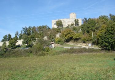
La route des châteaux on va trouver celui du Vellein de Fallavier de Maille de Septème de Monbaly il y a du roulant mais aussi de belles montées.Après St Quentin-Fallavier on prend la D76 jusqu'à Heyrieux, très fréquentée "danger". Après Heyrieux et juste avant d'arriver à St-Just-Chaleyssin les montées sont raides et puis après encore une belle montée en perspective avant la descente sur Septème. Danger de Glandut à la D75 la descente est presque à la verticale. Après Oytier-st-Oblas au niveau Granges des dames on prend à gauche une route qui grimpe en forêt pour arriver à proximité de la Madonne puis le circuit continue par la droite

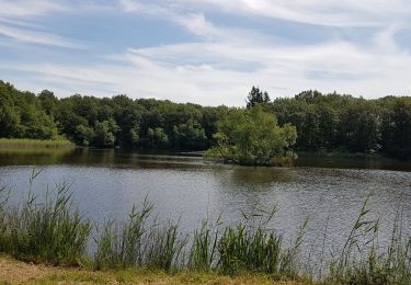
Wandern
Mountainbike
Wandern
Wandern
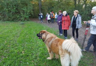
Wandern
Radtourismus
Fahrrad
Mountainbike
Mountainbike