


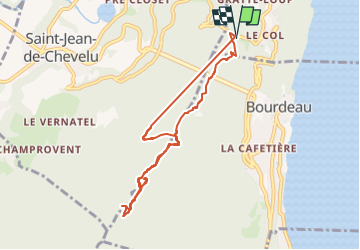

8,5 km | 14,8 km-effort

Benutzer


Kostenlosegpshiking-Anwendung
 SityTrail
IGN / Geografische Institute
SityTrail World
Die Welt öffnet sich für Sie
Tour Wandern von 8,3 km verfügbar auf Auvergne-Rhone-Alpen, Savoyen, La Chapelle-du-Mont-du-Chat. Diese Tour wird von mzonzon05 vorgeschlagen.
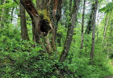
joli boucle printanières à faire en toute saison sauf hiver.
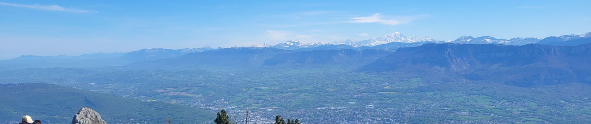
très agréable et varie. magnifique vue à 360° au mollard noir et à la dent.
temps compté avec les pauses


Wandern

Mountainbike

Wandern

Wandern
Wandern

Elektrofahrrad

Wandern

Klettersteig


sport