


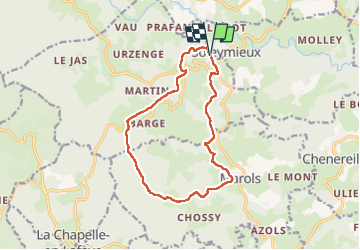


15,4 km | 22 km-effort

Benutzer GUIDE


Kostenlosegpshiking-Anwendung
 SityTrail
IGN / Geografische Institute
SityTrail World
Die Welt öffnet sich für Sie
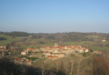
Tour Wandern von 13,7 km verfügbar auf Auvergne-Rhone-Alpen, Loire, Soleymieux. Diese Tour wird von dudu42 vorgeschlagen.
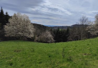
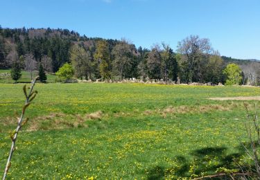
Très beaux panoramas sur le parcours.
Sous bois superbes avec le chant des oiseaux.
Une bonne partie du dénivelé positif est au début du parcours.
Un peu de bitume vers la fin mais presque pas de circulation.


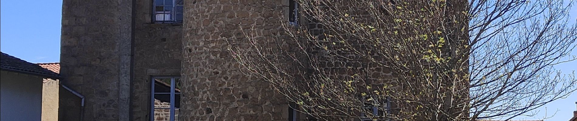
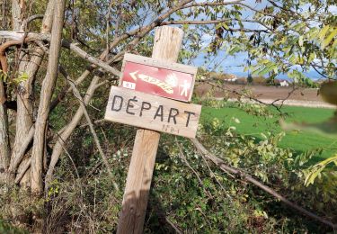
34 Fotos insgesamt. Klicken Sie auf ein Foto, um sie alle in der Galerie zu sehen.
Wandern
Wandern
Wandern
Mountainbike
Wandern

Wandern
Wandern
Wandern
Wandern