


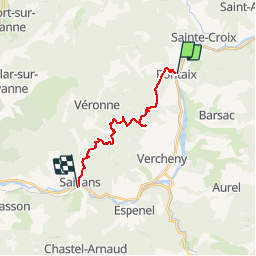

14,2 km | 23 km-effort


Benutzer


Kostenlosegpshiking-Anwendung
 SityTrail
IGN / Geografische Institute
SityTrail World
Die Welt öffnet sich für Sie
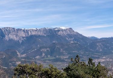
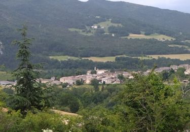
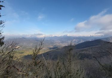
Tour Wandern von 15,1 km verfügbar auf Auvergne-Rhone-Alpen, Drôme, Pontaix. Diese Tour wird von Djac vorgeschlagen.
Pontaix, le château, les Clots,
Passerie, Rnes, les Aiguilles
Château de Barry
Côte Chaude, Col des Vallons
Chabrie, Trélaville
les Vallons, Chambreyron
Saillans

Wandern

Nordic Walking

Wandern
Wandern
Wandern
Rennrad
Wandern
Wandern
Wandern