


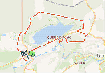


6,5 km | 8,1 km-effort

Benutzer GUIDE


Kostenlosegpshiking-Anwendung
 SityTrail
IGN / Geografische Institute
SityTrail World
Die Welt öffnet sich für Sie
Tour Wandern von 10,6 km verfügbar auf Wallonien, Hennegau, Chimay. Diese Tour wird von stef789 vorgeschlagen.
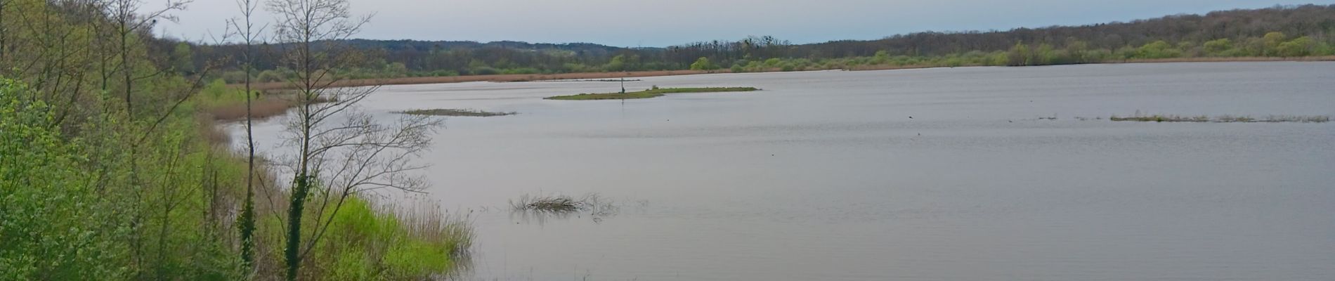
bel endroit dommage que les 800m le long de l étang soient ... payants... et qu'il était "trop tard pour y aller" à 16h30


29 Fotos insgesamt. Klicken Sie auf ein Foto, um sie alle in der Galerie zu sehen.
Wandern
Wandern

Wandern
Wandern
Wandern
Wandern
Wandern
Wandern
Wandern