


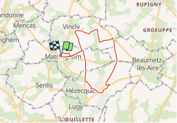

11,2 km | 13,9 km-effort

Benutzer


Kostenlosegpshiking-Anwendung
 SityTrail
IGN / Geografische Institute
SityTrail World
Die Welt öffnet sich für Sie
Tour Wandern von 12,3 km verfügbar auf Nordfrankreich, Pas-de-Calais, Matringhem. Diese Tour wird von temmichel vorgeschlagen.
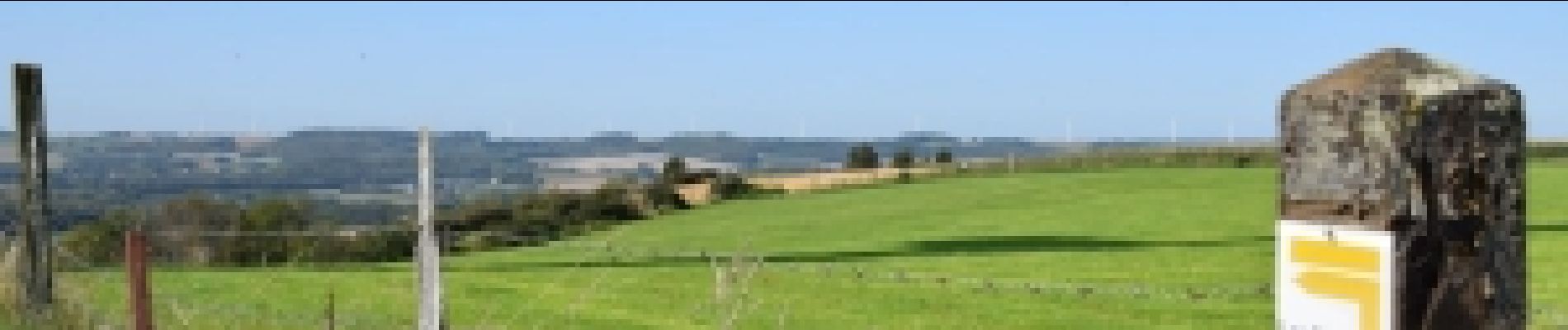
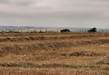
Cette randonnée vous fera découvrir le Mont Hézecques, le Mont d'Anguilbert, le Mont Grave et le Mont Fontaine premières collines artésiennes de la vallée de la Lys
Bonne randonnée
Jean-Michel
 - Les Monts - Photo 1")

Wandern
Wandern
Wandern
Wandern

Mountainbike
Wandern
Wandern
Wandern
Wandern