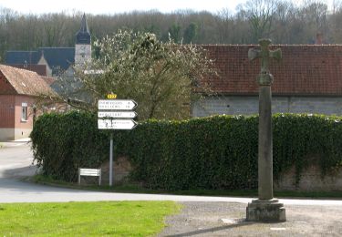
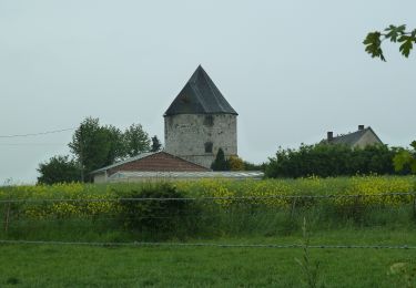
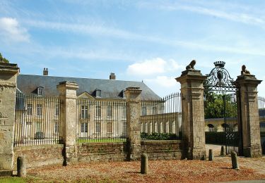
11,7 km | 14,1 km-effort
PUCHEVILLERS (80) - CVCircuit de la Montagne Bergère
temmichel
Benutzer
Länge
11,6 km
Maximale Höhe
141 m
Positive Höhendifferenz
186 m
Km-Effort
14 km
Min. Höhe
84 m
Negative Höhendifferenz
185 m
Boucle
Ja
Erstellungsdatum :
2024-03-26 07:48:17.88
Letzte Änderung :
2024-03-26 07:58:37.479
3h11
Schwierigkeit : Schwierig
Kostenlosegpshiking-Anwendung
Über SityTrail
Tour Wandern von 11,6 km verfügbar auf Nordfrankreich, Somme, Puchevillers. Diese Tour wird von temmichel vorgeschlagen.
Beschreibung
Randonnées au pays du coquelicot haut lieu des batailles de la somme durant la première guerre mondiale
Ort
Land:
France
Region :
Nordfrankreich
Abteilung/Provinz :
Somme
Kommune :
Puchevillers
Standort:
Unknown
Gehen Sie:(Dec)
Gehen Sie:(UTM)
457872 ; 5544837 (31U) N.
Kommentare
Touren in der Umgebung
Circuit de la Montagne Bergère
Zu Fuß
Einfach
Puchevillers,
Nordfrankreich,
Somme,
France
3h 12min
Nein
Circuit du Festonval
Zu Fuß
Einfach
Toutencourt,
Nordfrankreich,
Somme,
France
13,1 km | 15,7 km-effort
3h 34min
Ja
Circuit du Pigeonnier au Moulin
Zu Fuß
Einfach
Vauchelles-lès-Authie,
Nordfrankreich,
Somme,
France
6,8 km | 7,7 km-effort
1h 44min
Ja
Circuit du Château de Raincheval
Zu Fuß
Einfach
Raincheval,
Nordfrankreich,
Somme,
France
5,9 km | 7 km-effort
1h 35min
Ja
Le Tortillard (variante courte)
Wandern
Medium
Beauquesne,
Nordfrankreich,
Somme,
France
8,7 km | 9,7 km-effort
2h 30min
Ja
Le Tortillard
Wandern
Medium
Beauquesne,
Nordfrankreich,
Somme,
France
11,7 km | 13,2 km-effort
4h 0min
Ja
La Montinette
Zu Fuß
Einfach
Arquèves,
Nordfrankreich,
Somme,
France
10,4 km | 12,1 km-effort
2h 45min
Ja
09/05/21
Mountainbike
Einfach
Arquèves,
Nordfrankreich,
Somme,
France
6,2 km | 7,2 km-effort
52min
Ja
Bout des crocs
Wandern
Einfach
Talmas,
Nordfrankreich,
Somme,
France
72 km | 82 km-effort
2h 38min
Nein