


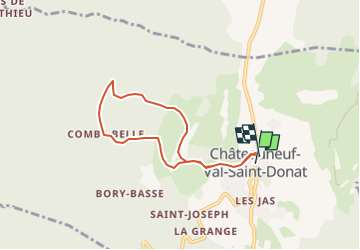

9 km | 17,7 km-effort


Benutzer


Kostenlosegpshiking-Anwendung
 SityTrail
IGN / Geografische Institute
SityTrail World
Die Welt öffnet sich für Sie
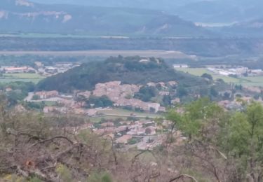
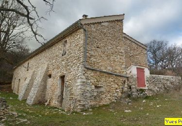
Tour Wandern von 6,8 km verfügbar auf Provence-Alpes-Côte d'Azur, Alpes-de-Haute-Provence, Châteauneuf-Val-Saint-Donat. Diese Tour wird von boulinevelyne vorgeschlagen.
voir aussi sur Sity trail la rando de : Roger
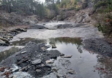
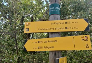
"Les chabannes. les bories , le vieux village de chateauneuf"
Wandern

Wandern

Wandern
Wandern

Wandern

Wandern
Wandern

Wandern
Wandern