


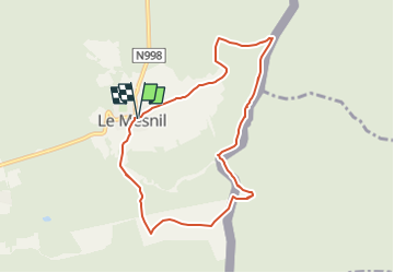

6,4 km | 9,1 km-effort

Benutzer GUIDE


Kostenlosegpshiking-Anwendung
 SityTrail
IGN / Geografische Institute
SityTrail World
Die Welt öffnet sich für Sie
Tour Wandern von 8,4 km verfügbar auf Wallonien, Namur, Viroinval. Diese Tour wird von Desrumaux vorgeschlagen.
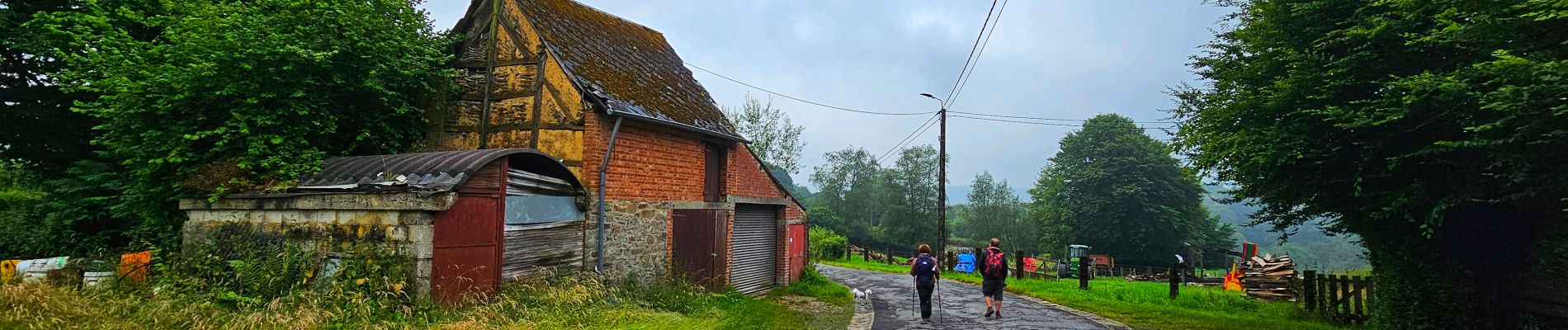
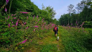
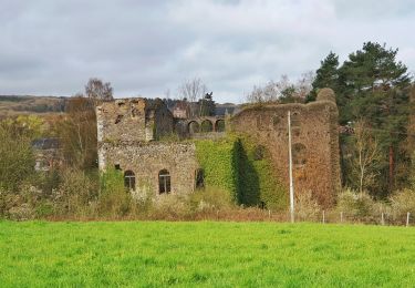
Charmante balade dans la commune de Viroinval au départ du village de Le Mesnil vers le hameau La Folie avec une petite incursion sue le territoire français.


Wandern

Wandern

Nordic Walking
Wandern
Wandern
Wandern

Wandern
Zu Fuß
Zu Fuß