


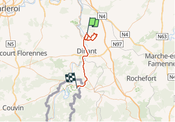


22 km | 30 km-effort

Benutzer


Kostenlosegpshiking-Anwendung
 SityTrail
IGN / Geografische Institute
SityTrail World
Die Welt öffnet sich für Sie
Tour Wandern von 52 km verfügbar auf Wallonien, Namur, Yvoir. Diese Tour wird von pascal0859 vorgeschlagen.
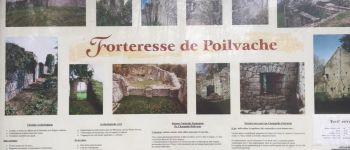
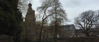
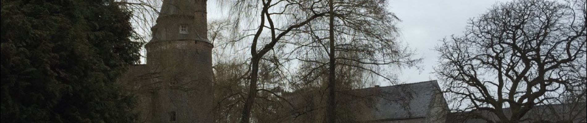
Superbe marche malgré un temps froid et pluvieux , très difficile montre pour se rendre à la forteresse de Poil Vache. A voir aussi le magnifique château ferme d Evrehailkes , il faut ôter 36kms a mon parcours et 3h00


Wandern

Wandern

Wandern

Wandern

Wandern

Wandern

Wandern

Wandern

Wandern