


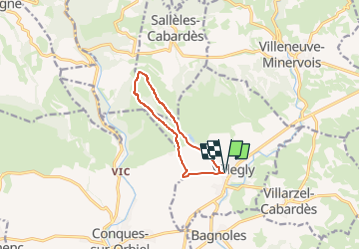

18,2 km | 26 km-effort


Benutzer


Kostenlosegpshiking-Anwendung
 SityTrail
IGN / Geografische Institute
SityTrail World
Die Welt öffnet sich für Sie
Tour Wandern von 8,9 km verfügbar auf Okzitanien, Aude, Villegly. Diese Tour wird von Combaut11 vorgeschlagen.
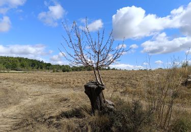
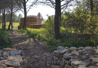
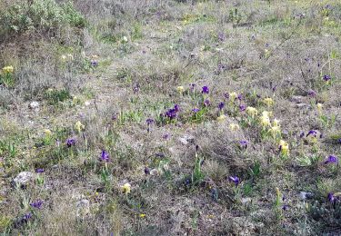
Départ de la rue des Pays Bas à Villegly. Montée par la combe de l'Escure au champ photovoltaïque des Terres Noires et retour par la combe sur l'autre versant du ruisseau.
Wandern
Mountainbike
Zu Fuß

Wandern

Wandern
Wandern
Wandern

Wandern