


12 km | 20 km-effort

Benutzer


Kostenlosegpshiking-Anwendung
 SityTrail
IGN / Geografische Institute
SityTrail World
Die Welt öffnet sich für Sie
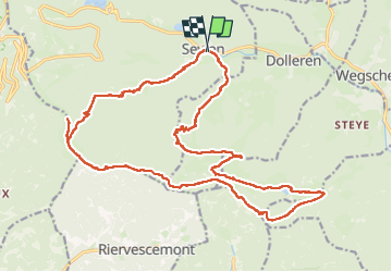
Tour Wandern von 24 km verfügbar auf Großer Osten, Oberelsass, Sewen. Diese Tour wird von Bart2015 vorgeschlagen.
Randonnée sportive au départ de Sewen pour profiter des magnifiques vues sur les Vosges et les Alpes si le temps le permet. N'hésitez pas à faire des pauses pour les admirer : Ballon d'Alsace, Grand Ballon, ... Passage par les abris de Dolleren (ou du Graber Breitenstein) et du Sommerseite, les fermes auberges du Graber, de la Fennematt proche de la source de la Doller, du Lochberg. Puis descente au lac Lachtelweiher avant de remonter en direction du Ballon d'Alsace en passant par le Col du Lochberg pour s'arrêter à la vierge du Wissgrut, pause possible à la ferme auberge, avant de redescendre sur Sewen.
Raccourci possible après la Fennematt en remontant directement au Col du Lochberg.
Bonne rando ...


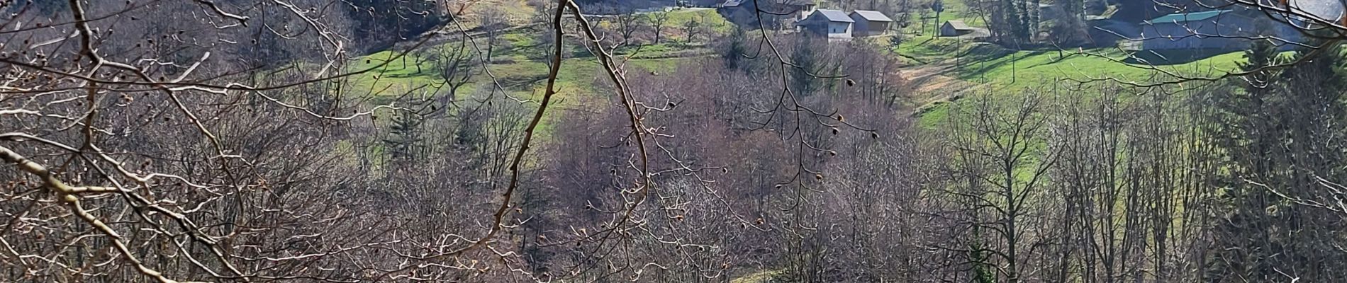
28 Fotos insgesamt. Klicken Sie auf ein Foto, um sie alle in der Galerie zu sehen.

Wandern

Wandern

Wandern

Wandern

Wandern

Wandern

Wandern

Wandern

Wandern