


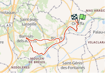


33 km | 40 km-effort

Benutzer


Kostenlosegpshiking-Anwendung
 SityTrail
IGN / Geografische Institute
SityTrail World
Die Welt öffnet sich für Sie
Tour Wandern von 19 km verfügbar auf Okzitanien, Ostpyrenäen, Ortaffa. Diese Tour wird von ThonyM vorgeschlagen.
Pour qui n’aime pas les dénivelés importants. A éviter par grande pluie et grosses chaleurs


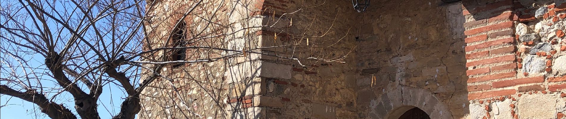
21 Fotos insgesamt. Klicken Sie auf ein Foto, um sie alle in der Galerie zu sehen.

Quad

Wandern

Wandern

Wandern

Wandern

Wandern
Wandern

Wandern

Wandern