


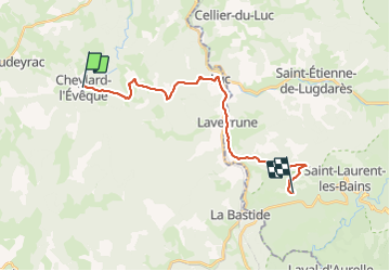

16,1 km | 22 km-effort


Benutzer


Kostenlosegpshiking-Anwendung
 SityTrail
IGN / Geografische Institute
SityTrail World
Die Welt öffnet sich für Sie
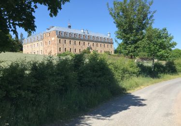
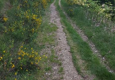
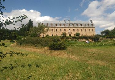
Tour Wandern von 22 km verfügbar auf Okzitanien, Lozère, Cheylard-l'Évêque. Diese Tour wird von nfranche vorgeschlagen.
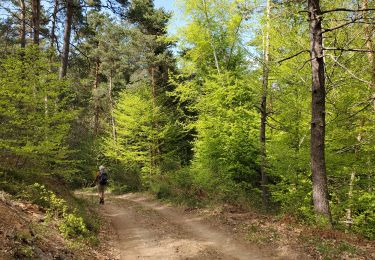
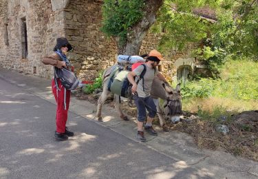
Cheylard-L'Evêque - Abbaye Ntre-Dame-des-Neiges : Avec l'étape à l'Abbaye, ce fut, comme nous l'espérions une expérience un peu unique et cela restera un des moments de ce trek les plus gravés dans notre mémoire !

Wandern
Wandern

Wandern
Wandern
Wandern
Wandern

Mountainbike
Wandern
Wandern