


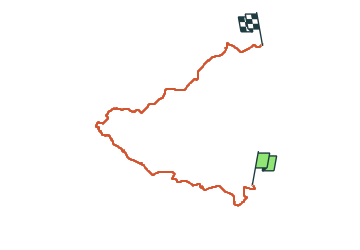

10,8 km | 13,2 km-effort

Benutzer GUIDE


Kostenlosegpshiking-Anwendung
 SityTrail
IGN / Geografische Institute
SityTrail World
Die Welt öffnet sich für Sie
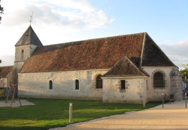
Tour Zu Fuß von 26 km verfügbar auf Île-de-France, Seine-et-Marne, Saint-Pierre-lès-Nemours. Diese Tour wird von chessyca vorgeschlagen.
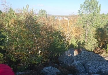
Mont Sarrasin, Larchant, Mont Blanc, , Villiers sous Grez.
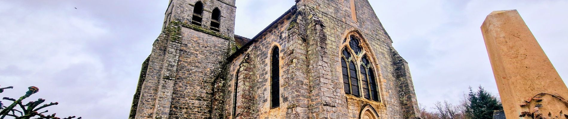
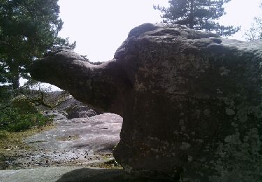
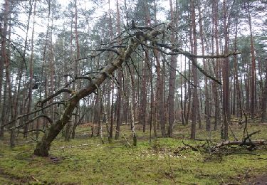
Passage a proximité de Dame Jouanne mais temps trop humide
Menée par Isabeau pour le Rif


Wandern
Wandern
Zu Fuß

Wandern

Mountainbike
Wandern
Andere Aktivitäten

Andere Aktivitäten
Wandern