


6,5 km | 10,5 km-effort

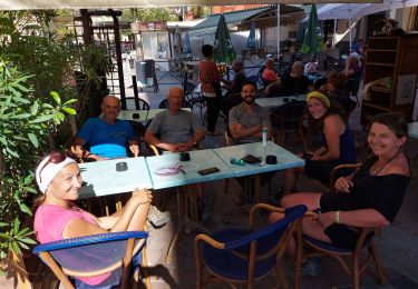
Benutzer


Kostenlosegpshiking-Anwendung
 SityTrail
IGN / Geografische Institute
SityTrail World
Die Welt öffnet sich für Sie
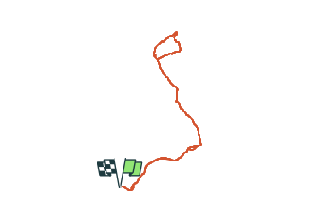
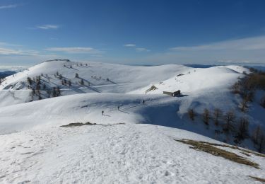
Tour Schneeschuhwandern von 16,5 km verfügbar auf Provence-Alpes-Côte d'Azur, Seealpen, Moulinet. Diese Tour wird von bozo1970 vorgeschlagen.
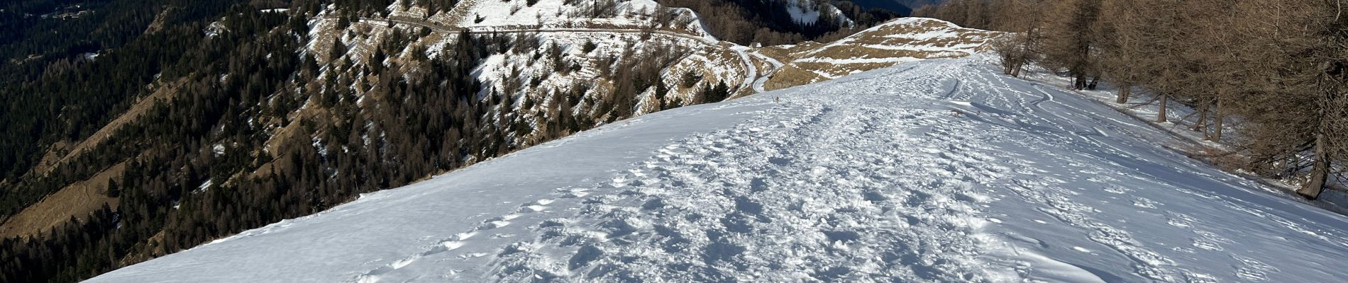
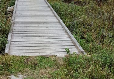
Départ du Camp d’Argent
L’Authion en 1h D 332 et 3km500
Beaucoup de neige
Baisse de Véran en 1h42’ D 346 et 5km900
Col de Raus en 2h23’ D 520 et 7km
Poursuite du GR tout en dévers jusqu’à la Baisse Cavaline
3h18’ D 647 et 8km500
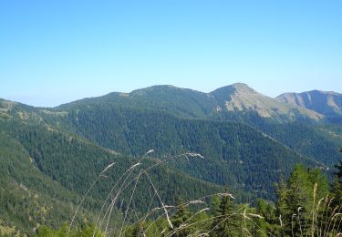
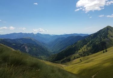
Jolie Vue sur la Corse !!
Boucle autour de la Cîme de Raus
Récupération du GR en sens inverse
A/R en 6h47’ D 942 et 17km
Chamois


Zu Fuß

Zu Fuß
Zu Fuß
Wandern

Wandern
Wandern
Wandern
Wandern
Schneeschuhwandern