


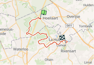


23 km | 28 km-effort

Benutzer


Kostenlosegpshiking-Anwendung
 SityTrail
IGN / Geografische Institute
SityTrail World
Die Welt öffnet sich für Sie
Tour Wandern von 23 km verfügbar auf Flandern, Flämisch-Brabant, Hoeilaart. Diese Tour wird von Boubby vorgeschlagen.
Balade GR Rando de gare en gare


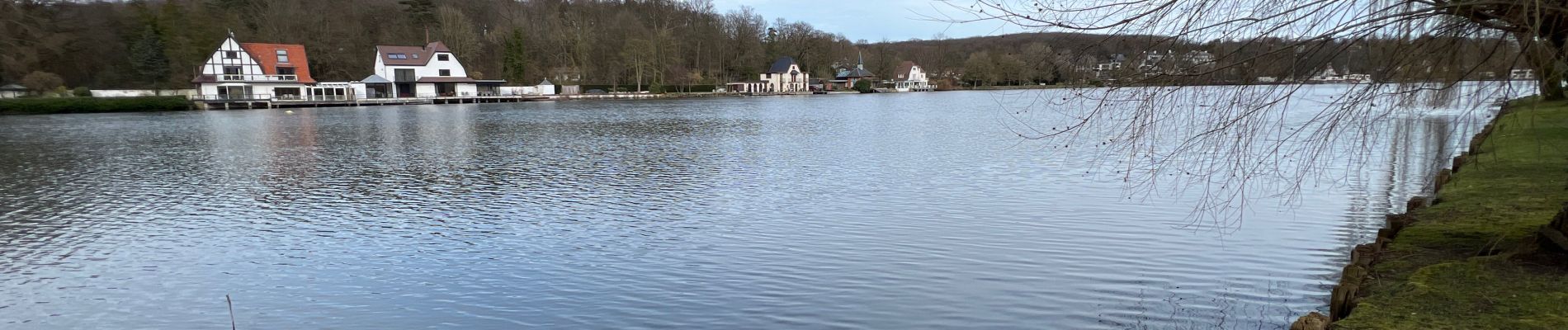
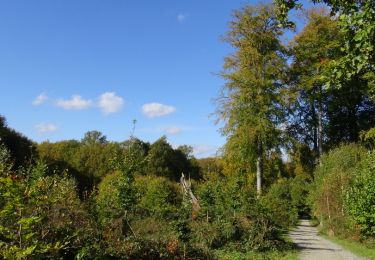
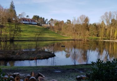
24 Fotos insgesamt. Klicken Sie auf ein Foto, um sie alle in der Galerie zu sehen.

Wandern

Wandern

Mountainbike

Mountainbike

Wandern

Mountainbike

Wandern
Wandern
Wandern