


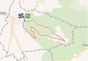

9,6 km | 11,4 km-effort


Benutzer


Kostenlosegpshiking-Anwendung
 SityTrail
IGN / Geografische Institute
SityTrail World
Die Welt öffnet sich für Sie
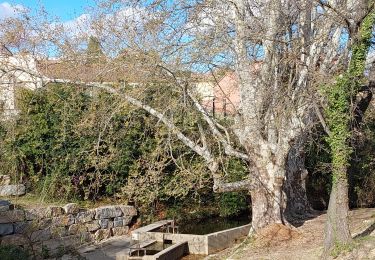
Tour Wandern von 7,5 km verfügbar auf Okzitanien, Hérault, Saint-Bauzille-de-la-Sylve. Diese Tour wird von gscholasch vorgeschlagen.
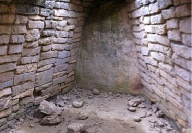
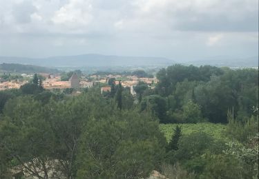
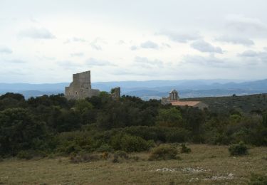
une longue montée, une longue descente caillouteuse, avec au Belvèdère du Faucon une vue splendide du pic de Vissou au mont Saint Baudille,la Tour télégraphe de Chappe.
Wandern
Wandern

Wandern
Wandern
Zu Fuß
Wandern

Wandern

Wandern