


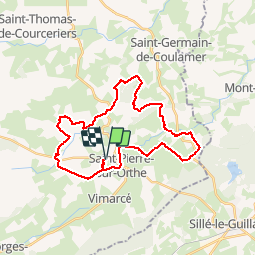

18,8 km | 24 km-effort


Benutzer


Kostenlosegpshiking-Anwendung
 SityTrail
IGN / Geografische Institute
SityTrail World
Die Welt öffnet sich für Sie
Tour Pferd von 30 km verfügbar auf Pays de la Loire, Mayenne, Vimartin-sur-Orthe. Diese Tour wird von mimi53 vorgeschlagen.
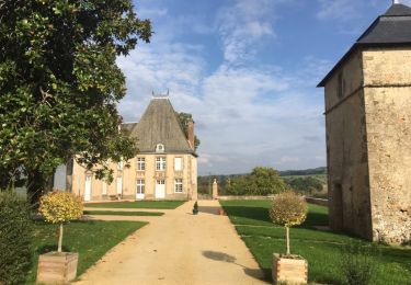
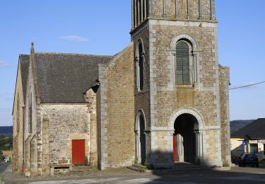
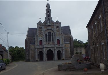
Très belle randonnée à cheval, pour les cavaliers du Montaigu, au départ de St Martin de Connée, beaucoup de chemin, forêt, ruisseau et traversé d'un gué (L'Orthe)
Zu Fuß
Zu Fuß

Zu Fuß
Wandern

Auto
Zu Fuß
Nordic Walking

Pferd
Nordic Walking