


15 km | 25 km-effort


Benutzer


Kostenlosegpshiking-Anwendung
 SityTrail
IGN / Geografische Institute
SityTrail World
Die Welt öffnet sich für Sie
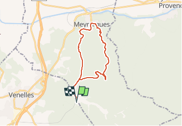
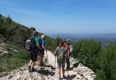
Tour Wandern von 13,2 km verfügbar auf Provence-Alpes-Côte d'Azur, Bouches-du-Rhône, Venelles. Diese Tour wird von Berpav vorgeschlagen.
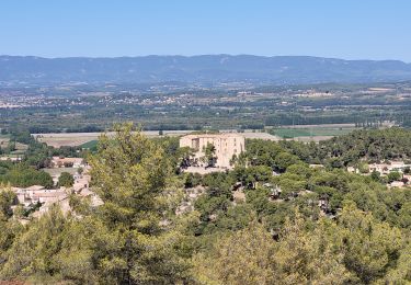
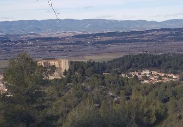
Une boucle sympathique en pleine campagne provençale permettant de découvrir les abords champêtre et le centre ville de Meyrargues. A l'aller après 1km500 bifurquer sur la droite vers un sentier montant menant jusqu'à Meyrargues. Le retour se réalise en bordure d'une voie ferrée, vous la longerez sur sentier tracé pour vous repérer.

Wandern

Zu Fuß
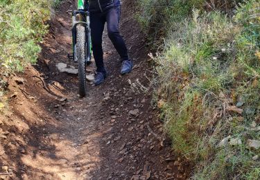
Mountainbike
Wandern
Wandern
Mountainbike
Wandern
Wandern
Wandern