


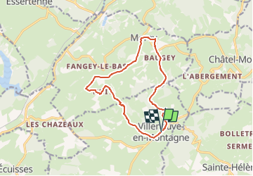


9 km | 12,3 km-effort


GRS MONTCEAU LES MINES


Kostenlosegpshiking-Anwendung
 SityTrail
IGN / Geografische Institute
SityTrail World
Die Welt öffnet sich für Sie
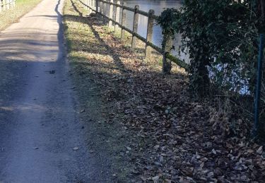
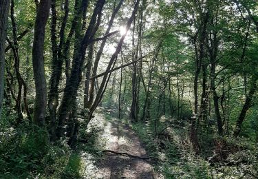
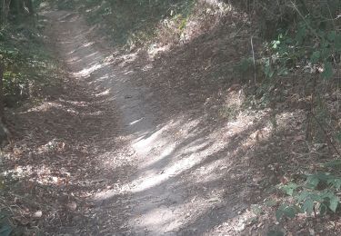
Tour Zu Fuß von 12,5 km verfügbar auf Burgund und Freigrafschaft, Saône-et-Loire, Villeneuve-en-Montagne. Diese Tour wird von GRS MONTCEAU LES MINES vorgeschlagen.
rando grs du 20 fevrier

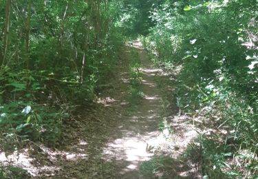
Wandern
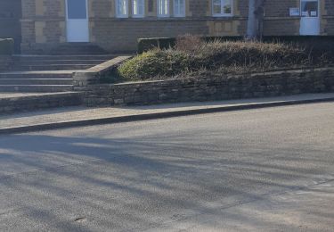
Wandern
Wandern
Wandern
Wandern
Wandern
Wandern
Wandern

Zu Fuß