


8,4 km | 15,5 km-effort

Benutzer GUIDE


Kostenlosegpshiking-Anwendung
 SityTrail
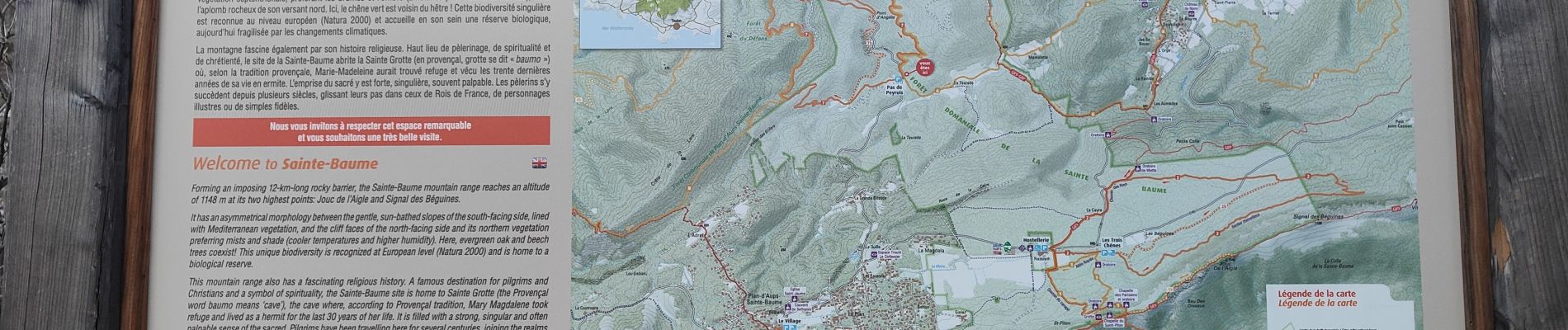
IGN / Geografische Institute
SityTrail World
Die Welt öffnet sich für Sie
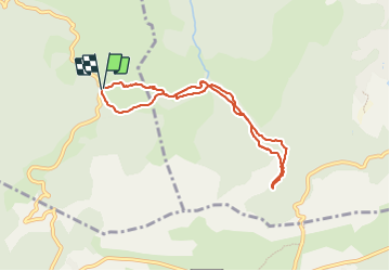
Tour Wandern von 7,6 km verfügbar auf Provence-Alpes-Côte d'Azur, Var, Saint-Zacharie. Diese Tour wird von dudu42 vorgeschlagen.
Très belle randonnée pour admirer la rivière et ses cupules !
Chemin agréable au milieu des arbres avec quelques variantes.


23 Fotos insgesamt. Klicken Sie auf ein Foto, um sie alle in der Galerie zu sehen.

Wandern

Wandern

Wandern

Wandern

Wandern

Zu Fuß

Wandern
Wandern
Wandern