


13,3 km | 19,3 km-effort

Benutzer


Kostenlosegpshiking-Anwendung
 SityTrail
IGN / Geografische Institute
SityTrail World
Die Welt öffnet sich für Sie
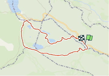
Tour Wandern von 10,3 km verfügbar auf Okzitanien, Ostpyrenäen, La Llagonne. Diese Tour wird von eric.mignot vorgeschlagen.
depuis Pla dels Avellans dans la vallée de la Têt;
via les estanys Negre, Llarg, et La Pradella
Durée totale : 4h45


Wandern

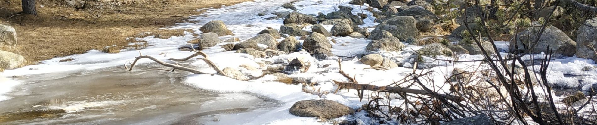
Schneeschuhwandern

Schneeschuhwandern

Wandern

Wandern

Schneeschuhwandern

Wandern

Wandern

Wandern