


3,8 km | 6,8 km-effort

Benutzer


Kostenlosegpshiking-Anwendung
 SityTrail
IGN / Geografische Institute
SityTrail World
Die Welt öffnet sich für Sie
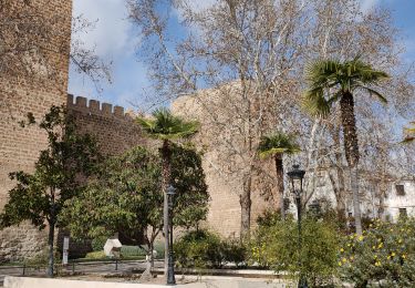
Tour Wandern von 3,6 km verfügbar auf Andalusien, Málaga, Nerja. Diese Tour wird von jpipacific vorgeschlagen.
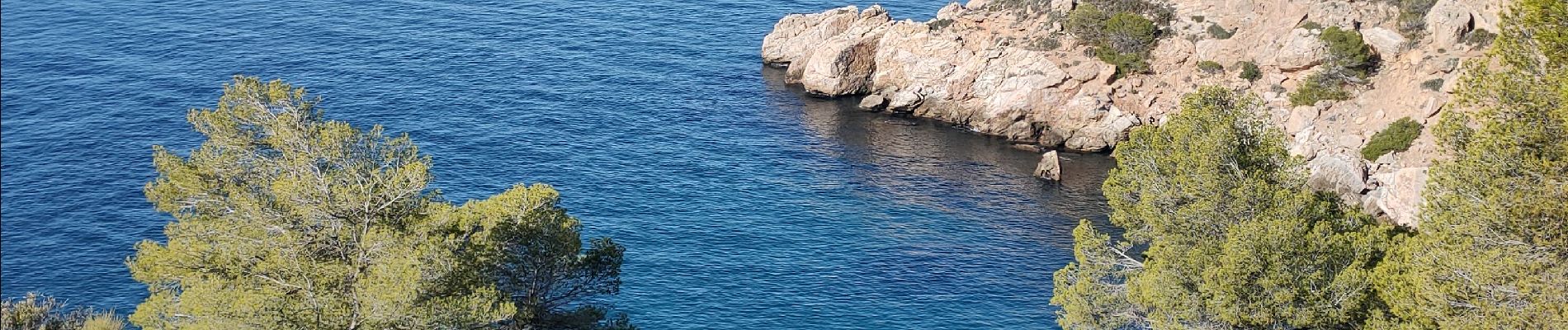
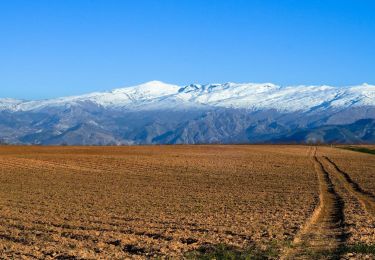
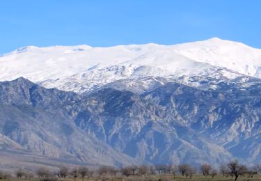
Circulaire entre la tour de La Caleta et les monts juste au dessus.
Balade courte (en distance parcourue) mais la partie qui monte pour rejoindre la crète des monts de la caleta est assez sévère et demande un bel effort.
Toutefois c'est mieux de monter cette cote que de la descendre. C'est vraiment pentu et pour la descente c'est dur pour les genoux.
Très beaux points de vue tout le long de la balade.


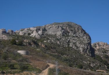
Wandern
Moto-Cross
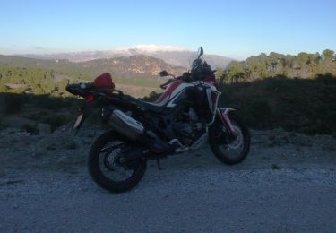
Moto-Cross
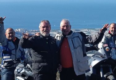
Moto-Cross
Moto-Cross
Moto-Cross
Moto-Cross
Moto-Cross
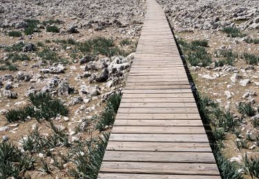
Wandern