


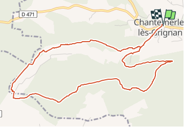

7,2 km | 8,4 km-effort


Benutzer


Kostenlosegpshiking-Anwendung
 SityTrail
IGN / Geografische Institute
SityTrail World
Die Welt öffnet sich für Sie
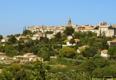
Tour Wandern von 6,9 km verfügbar auf Auvergne-Rhone-Alpen, Drôme, Chantemerle-lès-Grignan. Diese Tour wird von aitkhedache vorgeschlagen.
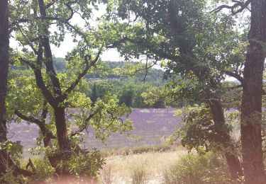
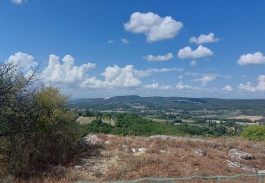
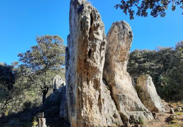
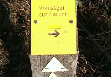
Depuis la place Bernard Barbier de Chantemerle, une belle balade d'abord sur le bord des crevasses, offrant un beau point de vue sur la vallée du Rhône, puis dans les bois du Rouvergue passant par le plateau de la Suquée.

Wandern

Wandern
Wandern
Wandern
Wandern
Wandern

Wandern
Wandern

Wandern