


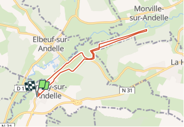

12,3 km | 0 m-effort


Benutzer


Kostenlosegpshiking-Anwendung
 SityTrail
IGN / Geografische Institute
SityTrail World
Die Welt öffnet sich für Sie
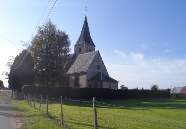
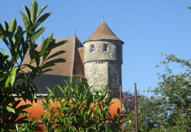
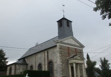
Tour Wandern von 7,2 km verfügbar auf Normandie, Seine-Maritime, Croisy-sur-Andelle. Diese Tour wird von philippe76 vorgeschlagen.
Départ et Arrivée, parking des Cars.
Prendre AG rue de la Plume.
AD ancien chemin de fer.
AD rte d'Elbeuf.
AG rte de la gare.
AD Côte de la Haye.
AG chemin ALT 97.
AG chemin ALT 86.
AD chemin des randonneurs.
AG ALT 97.
puis AG prés de la Haye.
AG et rejoindre le chemin des randonneurs.
AG chemin de beaumont.
TD rue de la gare.
AD rte de la Chapelle.
Arrivée PKG des cars.
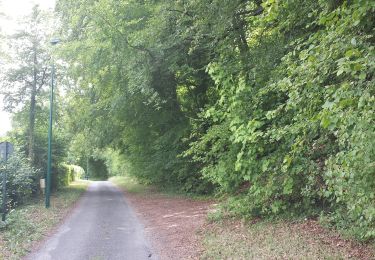
Wandern
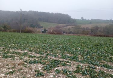
Wandern
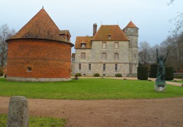
Wandern
Wandern
Wandern
Wandern
Wandern
Wandern
Wandern