


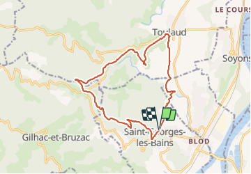


13,9 km | 22 km-effort

Benutzer


Kostenlosegpshiking-Anwendung
 SityTrail
IGN / Geografische Institute
SityTrail World
Die Welt öffnet sich für Sie
Tour Wandern von 16,4 km verfügbar auf Auvergne-Rhone-Alpen, Ardèche, Saint-Georges-les-Bains. Diese Tour wird von Jean Claude Marchand vorgeschlagen.
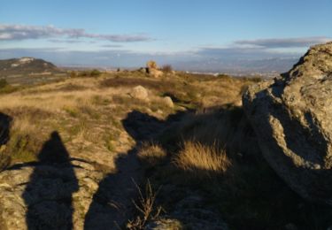
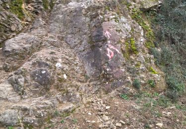
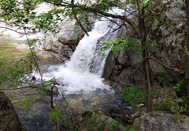
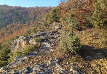
St Georges-les-Bains, Serre de Planèze et les sculpteurs sur pierre, Col du Rotisson, Serre Chalamant, Toulaud.


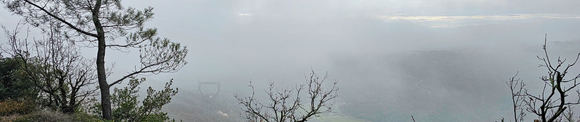
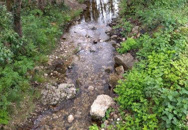
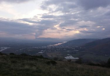
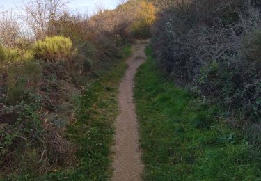
21 Fotos insgesamt. Klicken Sie auf ein Foto, um sie alle in der Galerie zu sehen.
Wandern
Wandern
Wandern
Wandern

Wandern
Wandern
Wandern
Wandern
Wandern