


33 km | 50 km-effort

Benutzer


Kostenlosegpshiking-Anwendung
 SityTrail
IGN / Geografische Institute
SityTrail World
Die Welt öffnet sich für Sie
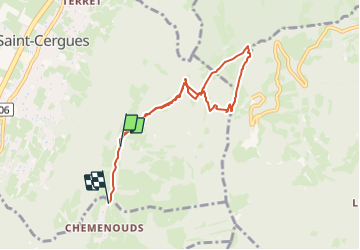
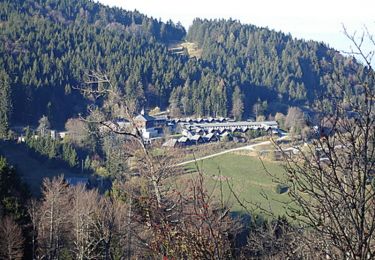
Tour Wandern von 7,3 km verfügbar auf Auvergne-Rhone-Alpen, Hochsavoyen, Saint-Cergues. Diese Tour wird von mzonzon05 vorgeschlagen.
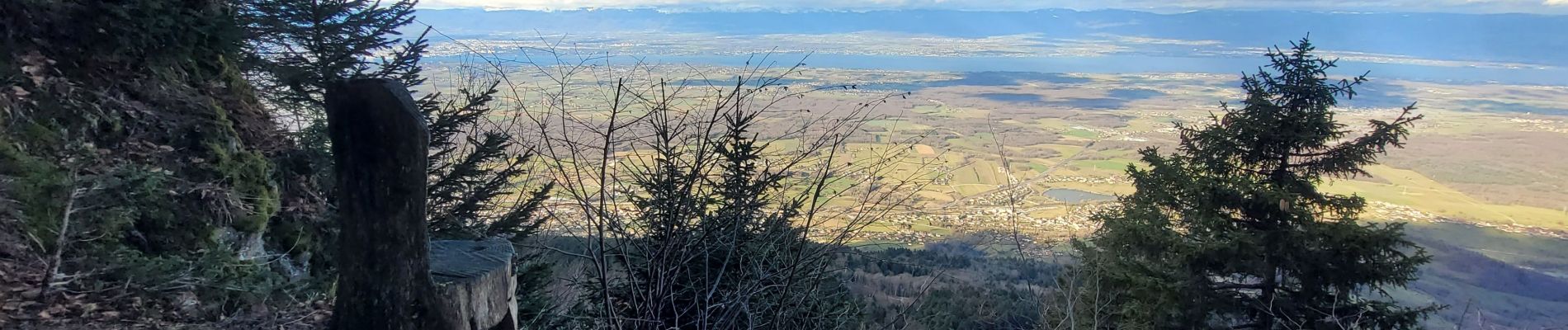
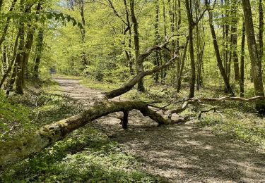
jolie balade dans les Voirons à faire de tout temps et toute saison. Jolie vue sur le lac Léman.


Mountainbike
Wandern
Wandern
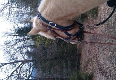
Pferd
Mountainbike

Wandern

Elektrofahrrad

Zu Fuß
Zu Fuß