


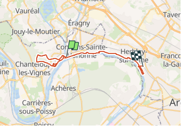

23 km | 28 km-effort


Benutzer GUIDE


Kostenlosegpshiking-Anwendung
 SityTrail
IGN / Geografische Institute
SityTrail World
Die Welt öffnet sich für Sie
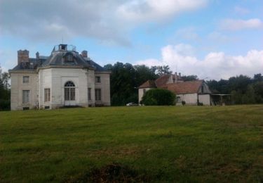
Tour Zu Fuß von 22 km verfügbar auf Île-de-France, Yvelines, Conflans-Sainte-Honorine. Diese Tour wird von chessyca vorgeschlagen.
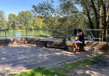
Rando menée pour le RCY le 7 janvier 2024.
Un peu de dénivelé à mentionner. Un peu de boue dans la partie haute d'Andresy


Zu Fuß

Wandern
Wandern

Laufen
Wandern
Wandern

Wandern
Zu Fuß

Nordic Walking