


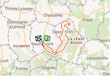

14,8 km | 19,1 km-effort


Benutzer


Kostenlosegpshiking-Anwendung
 SityTrail
IGN / Geografische Institute
SityTrail World
Die Welt öffnet sich für Sie
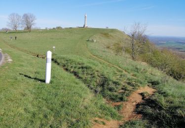
Tour Wandern von 12,2 km verfügbar auf Großer Osten, Mörthe und Mosel, Vaudémont. Diese Tour wird von DanielROLLET vorgeschlagen.
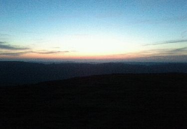
2024 01 05 - Avec Marie - 9h25 à 13h25
Départ/retour auberge de la Colline (fermée) Vaudémont
Temps gris et frais mais calme
13 820m 313m réels avec les innombrables erreurs dés le départ. Balisage parfois aléatoire voire absent.

Zu Fuß

Zu Fuß

Wandern

Wandern


sport
Wandern

Wandern

Wandern
Wandern