


50 km | 57 km-effort


Club randonnées SERVON


Kostenlosegpshiking-Anwendung
 SityTrail
IGN / Geografische Institute
SityTrail World
Die Welt öffnet sich für Sie
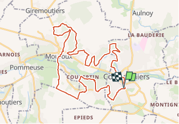
Tour Wandern von 23 km verfügbar auf Île-de-France, Seine-et-Marne, Coulommiers. Diese Tour wird von Les 1000 pattes vorgeschlagen.
Parking : 1 Boulevard du Docteur Lorimy, 77120 Coulommiers
Trajet : 50 mn 55km
Mountainbike
Andere Aktivitäten
Mountainbike

Wandern
Wandern
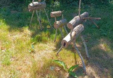
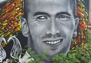
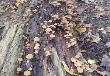
Wandern
Wandern
Wandern

Wandern