![](/images/other/stat-length.png)
![Tour Wandern Saint-Quentin-sur-Isère - Dent de Moirans - Photo](https://media.geolcdn.com/t/1900/400/cc5b3296-26ad-4d08-b80e-e1eedf7283f6.jpg&format=pjpeg&maxdim=2)
Dent de Moirans
GuyVachet
Benutzer
![Länge](/images/other/stat-length.png)
![Maximale Höhe](https://static1.geolcdn.com/siteimages/upload/files/1508320355ic_sort_altitude_max_24dp.png)
![Positive Höhendifferenz](https://static1.geolcdn.com/siteimages/upload/files/1508320355ic_sort_den_pos_24dp.png)
![Km-Effort](/images/other/stat-length.png)
![Min. Höhe](https://static1.geolcdn.com/siteimages/upload/files/1508320355ic_sort_altitude_min_24dp.png)
![Negative Höhendifferenz](https://static1.geolcdn.com/siteimages/upload/files/1508320355ic_sort_den_neg_24dp.png)
![Boucle](https://static1.geolcdn.com/siteimages/upload/files/16400158638029165_repeat_loop_refresh_sync_direction_icon.png)
![Wandern](https://static1.geolcdn.com/sitytour/trail-icons/101.png)
6h17
Schwierigkeit : Sehr schwierig
![Scannen Sie diesen QR-Code, um die Tour in der SityTrail-Anwendung zu öffnen](https://capi.geolives.com/qq0zvz2zws4bq2lad0pu/sitytour/trails/3898797/qr.png?size=200)
Kostenlosegpshiking-Anwendung
Über SityTrail
Tour Wandern von 14,7 km verfügbar auf Auvergne-Rhone-Alpen, Isère, Saint-Quentin-sur-Isère. Diese Tour wird von GuyVachet vorgeschlagen.
Beschreibung
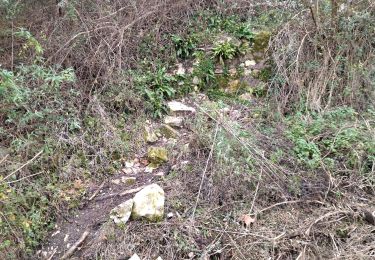
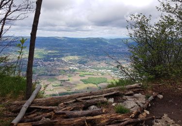
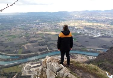
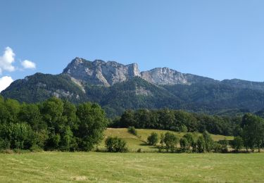
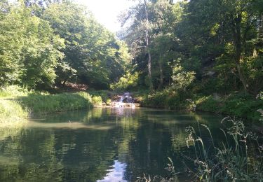
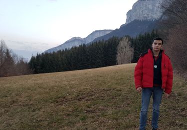
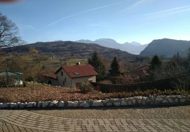
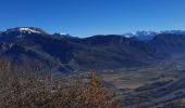
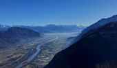
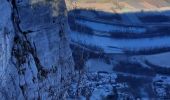
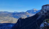
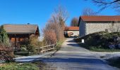
Belle boucle qui permet d'apprécier la vallée de l'Isère à partir des 2 versants de la pointe nord du Vercors (en d'autres termes, en direction de Valence et de l'autre en sortie de Grenoble). La première partie de la montée est soutenue jusqu'à la côte 409m puis continue plus tranquillement en forêt après le hameau des Maîtres. Avant d'arriver la Dent qui domine le Bec de l'Echaillon, un petit détour pour apprécier la verticalité du calcaire. A la Dent, la vue est face à la Chartreuse et ensuite, il ne faut pas manquer le belvédère qui découvre Grenoble, Belledonne et le Taillefer. Retour par Montaud et une petite rallonge à partir de la Colombière pour découvrir un chemin secret avec la source de Bacchus avant de retrouver l'itinéraire emprunté au début.
Ort
Kommentare
Touren in der Umgebung
![Tour Wandern Saint-Quentin-sur-Isère - 38 St Quentin sur isere - Photo](https://media.geolcdn.com/t/375/260/a8213203-4838-4b30-a9a1-6f63f9fa0c7f.jpg&format=jpg&maxdim=2)
![Wandern Wandern](https://static1.geolcdn.com/sitytour/trail-icons/101.png)
Wandern
![](/images/other/stat-length.png)
![](https://static1.geolcdn.com/siteimages/upload/files/16400158638029165_repeat_loop_refresh_sync_direction_icon.png)
![Tour Wandern Saint-Quentin-sur-Isère - 38 carrières echaillon - Photo](https://media.geolcdn.com/t/375/260/728d4589-2ee2-49ea-a83d-3257b1bf0904.jpg&format=jpg&maxdim=2)
![Wandern Wandern](https://static1.geolcdn.com/sitytour/trail-icons/101.png)
Wandern
![](/images/other/stat-length.png)
![](https://static1.geolcdn.com/siteimages/upload/files/16400158638029165_repeat_loop_refresh_sync_direction_icon.png)
![Tour Wandern Montaud - La Dent de Moirans - Photo](https://media.geolcdn.com/t/375/260/42159542-0525-485e-906a-e99c0c2c152d.jpg&format=jpg&maxdim=2)
![Wandern Wandern](https://static1.geolcdn.com/sitytour/trail-icons/101.png)
Wandern
![](/images/other/stat-length.png)
![](https://static1.geolcdn.com/siteimages/upload/files/16400158638029165_repeat_loop_refresh_sync_direction_icon.png)
![Tour Wandern Montaud - La dent de Moirans - Photo](https://media.geolcdn.com/t/375/260/c31d5ba7-98c1-4d2c-8f51-1281362b0eb5.jpg&format=jpg&maxdim=2)
![Wandern Wandern](https://static1.geolcdn.com/sitytour/trail-icons/101.png)
Wandern
![](/images/other/stat-length.png)
![](https://static1.geolcdn.com/siteimages/upload/files/16400158638029165_repeat_loop_refresh_sync_direction_icon.png)
![Tour Wandern Montaud - BOUCLE MONTAUD DE T DE MOIRANS - Photo](https://media.geolcdn.com/t/375/260/e130ea2b-4587-4c00-ae7c-a57eb66385d6.jpg&format=jpg&maxdim=2)
![Wandern Wandern](https://static1.geolcdn.com/sitytour/trail-icons/101.png)
Wandern
![](/images/other/stat-length.png)
![](https://static1.geolcdn.com/siteimages/upload/files/16400158638029165_repeat_loop_refresh_sync_direction_icon.png)
![Tour Wandern Saint-Quentin-sur-Isère - st Quentin montaud boucle - Photo](https://media.geolcdn.com/t/375/260/0aa42cac-7efa-41f8-ab64-12fb04627411.jpg&format=jpg&maxdim=2)
![Wandern Wandern](https://static1.geolcdn.com/sitytour/trail-icons/101.png)
Wandern
![](/images/other/stat-length.png)
![](https://static1.geolcdn.com/siteimages/upload/files/16400158638029165_repeat_loop_refresh_sync_direction_icon.png)
![Tour Wandern Noyarey - Ezy Montaud par les chemins communaux - Photo](https://media.geolcdn.com/t/375/260/0cea62fe-ffe7-4b76-832e-d8e78db74c24.jpg&format=jpg&maxdim=2)
![Wandern Wandern](https://static1.geolcdn.com/sitytour/trail-icons/101.png)
Wandern
![](/images/other/stat-length.png)
![](https://static1.geolcdn.com/siteimages/upload/files/16400158638029165_repeat_loop_refresh_sync_direction_icon.png)
![Tour Wandern Montaud - Pas Brochier - Photo](https://media.geolcdn.com/t/375/260/4a42f92b-3781-4449-8214-42e3d818bec3.jpg&format=jpg&maxdim=2)
![Wandern Wandern](https://static1.geolcdn.com/sitytour/trail-icons/101.png)
Wandern
![](/images/other/stat-length.png)
![](https://static1.geolcdn.com/siteimages/upload/files/16400158638029165_repeat_loop_refresh_sync_direction_icon.png)
![Tour Wandern Montaud - DENT DE MOIRANS GROUPE 1 - Photo](https://media.geolcdn.com/t/375/260/341dd4e4-0b77-4fa9-85ea-985acc362501.jpg&format=jpg&maxdim=2)
![Wandern Wandern](https://static1.geolcdn.com/sitytour/trail-icons/101.png)
Wandern
![](/images/other/stat-length.png)
![](https://static1.geolcdn.com/siteimages/upload/files/16400158638029165_repeat_loop_refresh_sync_direction_icon.png)