


6,6 km | 10,5 km-effort


Benutzer


Kostenlosegpshiking-Anwendung
 SityTrail
IGN / Geografische Institute
SityTrail World
Die Welt öffnet sich für Sie
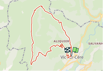
Tour Wandern von 11,2 km verfügbar auf Auvergne-Rhone-Alpen, Cantal, Vic-sur-Cère. Diese Tour wird von Jean-Marie Bousquet vorgeschlagen.
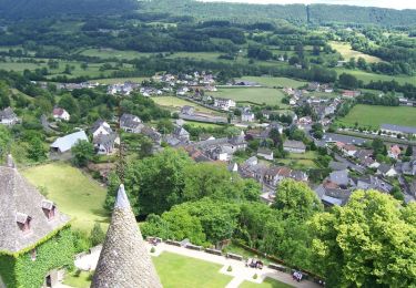
boucle au départ de Vic sur Cere.
les 250 premiers mètres de dénivelé sont difficiles. Après marche agréable sur le plateau.

Wandern
Wandern
Wandern

Wandern

Wandern
Wandern

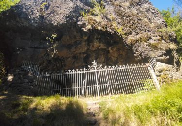
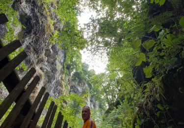
Pfad

Wandern
Wandern