


7,3 km | 10,3 km-effort


Benutzer


Kostenlosegpshiking-Anwendung
 SityTrail
IGN / Geografische Institute
SityTrail World
Die Welt öffnet sich für Sie
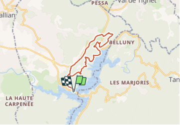
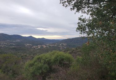
Tour Zu Fuß von 12,9 km verfügbar auf Provence-Alpes-Côte d'Azur, Var, Montauroux. Diese Tour wird von ripoll dominique vorgeschlagen.
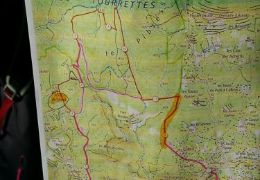
Sortie de Péage les ADRETS, Prendre D 37 Route du Lac ; traverser Pont de Pré Claou ,Parking de suite aprés à gauche;
COORD GPS :43.5841,6.8001
Zu Fuß

Wandern
Wandern
Wandern
Wandern

Mountainbike
Wandern
Wandern
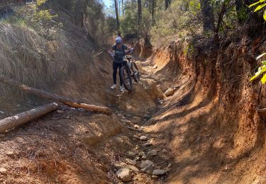
Mountainbike
A ne pas faire .trop de chemins sont devenus privés.