


12,8 km | 15,1 km-effort


Benutzer


Kostenlosegpshiking-Anwendung
 SityTrail
IGN / Geografische Institute
SityTrail World
Die Welt öffnet sich für Sie
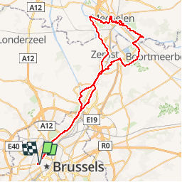
Tour Fahrrad von 69 km verfügbar auf Brüssel-Hauptstadt, Unbekannt, Stadt Brüssel. Diese Tour wird von alaindurbecq vorgeschlagen.
Ranndo Fietsographes du 22/02/15 liaison Bxl centre. Très agréable balade entre canal, Senne et Dyle, en passant par Malines, Vrijbroeck, Mechels Broek, Hofstade, Plankendael. Classé "moyen" en raisonde la longueur, mais il s'agit d'un itinéraire plat.

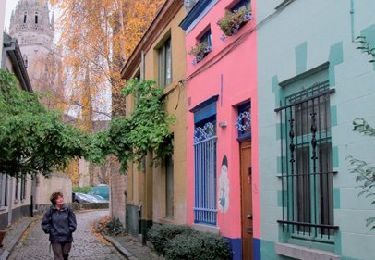
Wandern

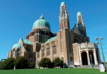
Wandern
Wandern
Wandern

Wandern
Wandern
Wandern

Wandern
Wandern